|
|
Travelogue -- Dr Bob's Wrap-Up Motorcycle Ride |
|
| Send a message to Dr Bob |
9 May 2018, 11:15 PM CT, Alpine, TX
Last night when I signed off, I left it quite uncertain just what I would actually do today. That's also the way I started the day. I took a nap yesterday afternoon, not normal for me, especially on a ride. I thought a lot about what to do, even during the night. When I got up this morning, my best guess was that I would skip Big Bend.
I was up early, while it was still cool, and I was off before 7:00 AM. Sunrise was about five minutes before 7. When I reached Sanderson, I had to decide if I would keep going toward Big Bend or just head to I-10. I was feeling good. I continued toward Big Bend. When I reached Marathon, I had to decide if I would keep going toward Big Bend or just head to I-10. I was feeling good. I make the left turn to go south to Big Bend. And so it happened.
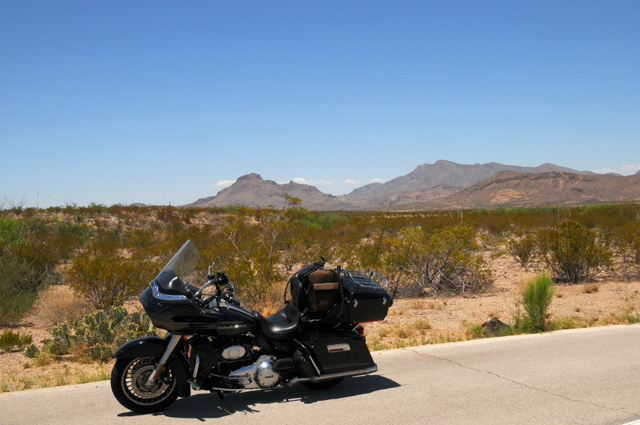
I was on the road 12 hours today. I rode 432 miles. That's a lot, actually. It was 178 miles to Marathon, then 69 miles south to Big Bend, 105 inside Big Bend, then 80 miles to Alpine. I got gas 5 times today, no doubt a record for me. I am in a part of the country where you don't know where the next gas station will be, so you fill up at every one of them!
The temperature was even higher today than yesterday. It was over 100° at one point. I felt fine all day. What was different? I believe I was suffering from dehydration yesterday. Thinking back on it, I had the symptoms. Today I made sure that did not happen. I drank a cup of water every 30 miles. Like clockwork. Every time I reached 30 more miles, I would pull over and have a drink (of water, that is). I guess it worked.
I have a lot of pictures today. I was a tourist, not just a rider. It was hard for me to pick which ones to show you. I went flying past the Pecos, I really wish I had stopped, the river was bigger than I would have guessed. There was no shoulder. There was traffic. So I did not get a picture.
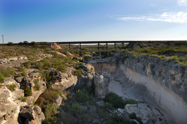
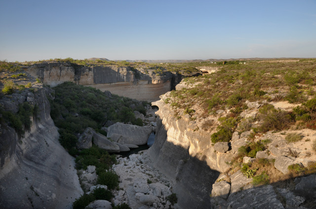
Farther down the road, I saw a sign for Eagle Nest Creek. This time I was able to stop. Here's a picture looking north, and then south. For just a little creek, it sure had carved out its own gorge.
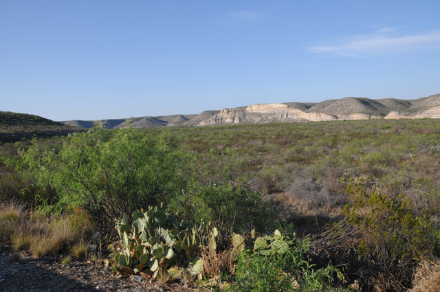
Still farther down the road, I was taken by the white mountains, made me think of the white cliffs of Dover.
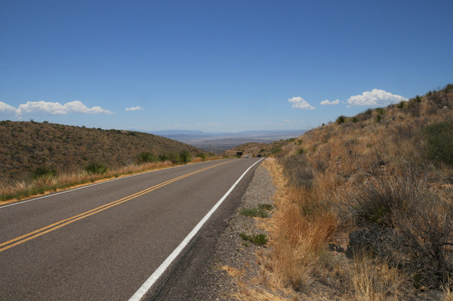
I was getting to higher elevation constantly. It was not noticeable, just every time I looked at my elevation is was a couple hundred feet higher. I went from 1,000 in Del Rio to 4,000 in Marathon. That was in 178 miles, a gradual climb of 3,000 feet. The terrain was going from relatively flat to mountains in every direction.
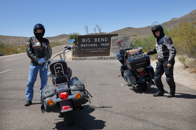
Before I knew it, I was at the entrance to Big Bend. Here I am with my newest friend, David, from Tulsa. He was actually leaving, but our paths crossed for a few minutes.
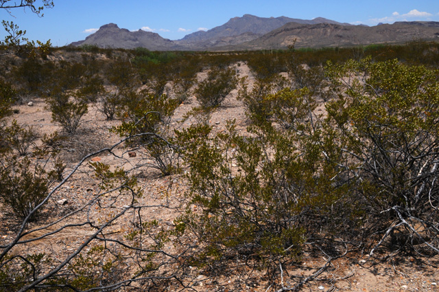
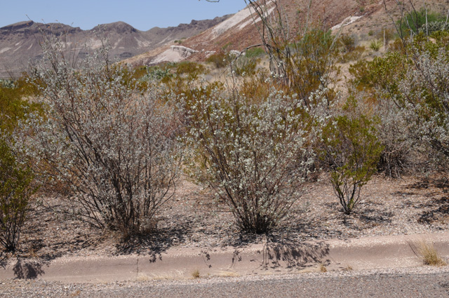
This is just a picture inside Big Bend. I liked it enough to show it to you. I was attracted to the vegetation.
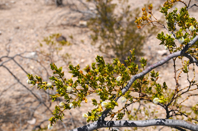
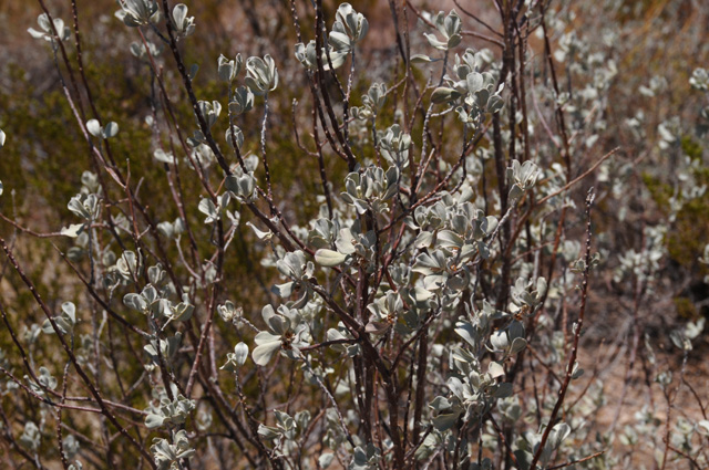
I think it might be creosote. Here's a picture showing the plants better. Notice how they are all separate from one another.
And here's a picture of the leaves. So, can anybody tell me if it is creosote?
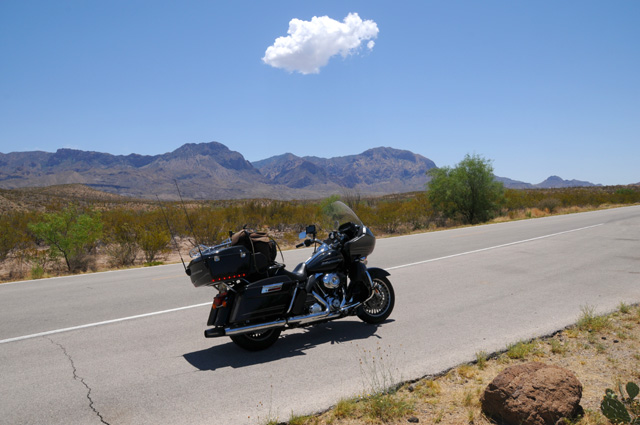
Another picture inside Big Bend. I like that cloud.
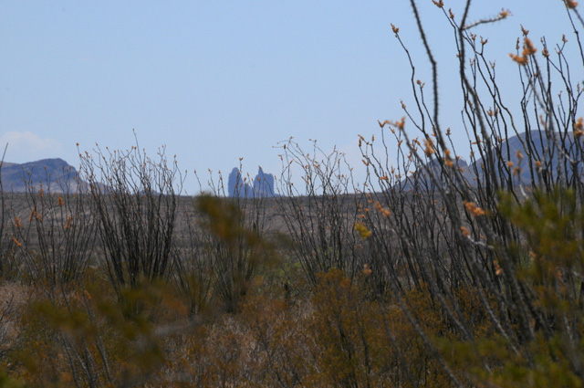
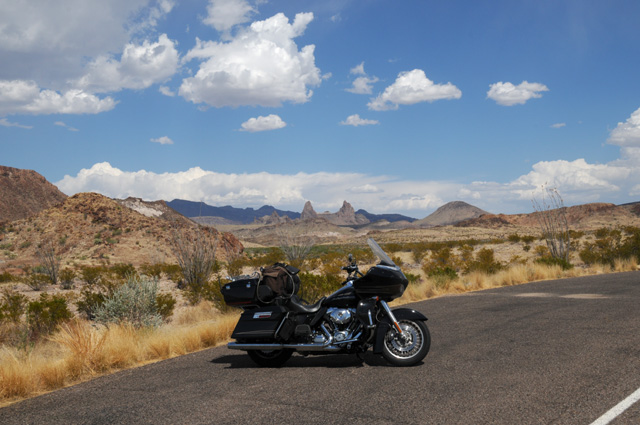
My first view of the Mule Ears, right in the center of the picture. They are a little hazy, I am not that close.
And here are the Mule Ears as close as I can get without hiking. I do not hike.
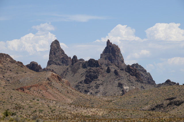
My last view of the Mule Ears. A bit in the distance again, but clearer this time. I think it is because the sun was shining on the side I could see.
This is just a shot up high in Big Bend. I was just coming over the top and I thought the valley down below was nice. This picture does not do justice to the actual view. I am still showing it to you, though, because I like it.
Did you notice there is no shoulder. I must have parked right on the road!
I have another plant to show you. This is called Desert Sage.
Here's a close up of the leaves. It can make gorgeous flowers. But not today.
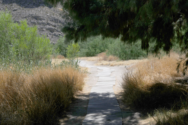
Well, I do hike every now and then, this was to get to the Rio Grande in Big Bend National Park.
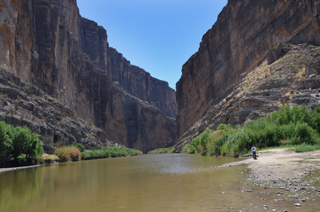
And what a view, worth the long hike I had to do, I think it was at least 1/4 mile. That's the Santa Elena Canyon. Mexico is on the left, the US on the right.
That's it for today. Join me again tomorrow. I am going back to high speed, I want to get to Phoenix. I will go directly from Alpine to I-10 then speed to the west. I will be going through El Paso and Tucson to get to Phoenix. Not sure where I will end up tomorrow night, El Paso is about 225 miles, Tucson is about 535 miles, and Phoenix is about 650 miles.
I was about one day ahead of my preliminary plan. Well, with the short day yesterday I am back on the preliminary plan. The preliminary plan had me in Alpine Wednesday night.
Good night.
|
|
|