|
|
Travelogue -- Dr Bob's US50 Motorcycle Ride |
|
| Send a message to Dr Bob |
15 May 2012, 11:59 PM MT, Salina, UT
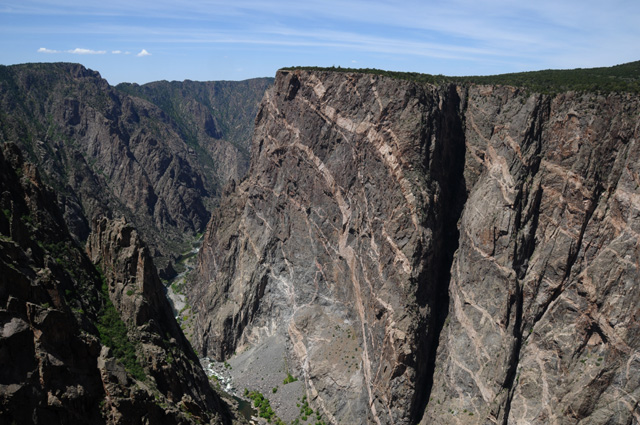
Busy day today. Rode 389 miles. Got up before 7:00, had breakfast and was off. I wanted to see the Black Canyon, Colorado's own Grand Canyon. The canyon was formed by the Gunnison River. You can do the south rim or the north rim. The north rim takes longer, but I am told it is more impressive. I did the south rim. This is one of the first views I had after entering the National Park.
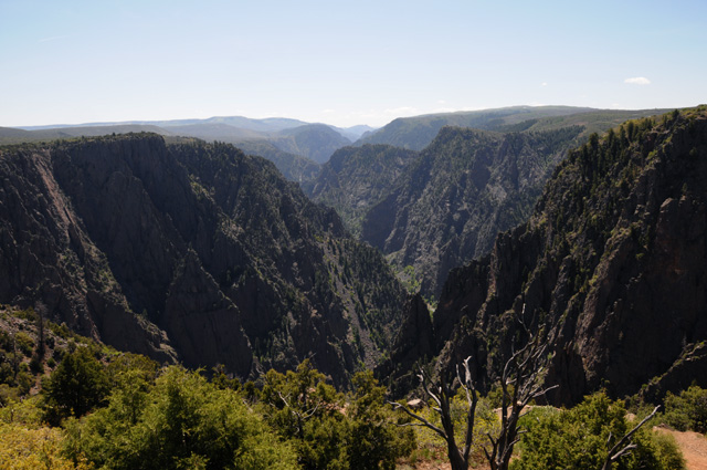
This is looking straight across the canyon. It is narrow, not like the Grand Canyon. It does not have mesas inside the canyon as does the Grand Canyon. Its depth runs from 1,750 feet to 2,700 feet.
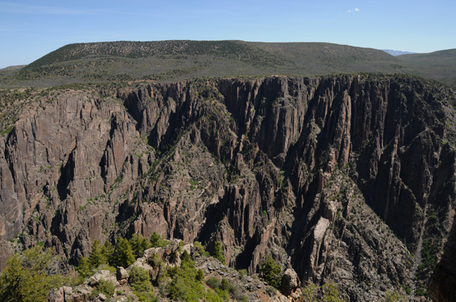
The north wall is on the left, the south wall on the right. The south wall has eroded more. This is because the sun does not hit the south wall as much as it hits the north wall, and as a result the south wall stays wetter, and as a result it erodes more.
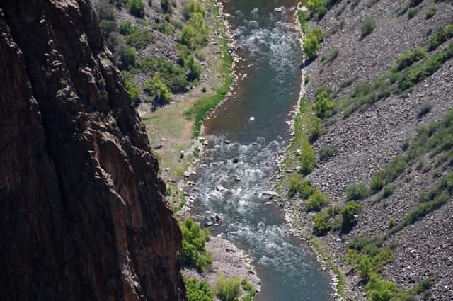
Looking down into the canyon at the Gunnison River with a telephoto lens.
This is called the Painted Wall. It is 2,300 feet high.
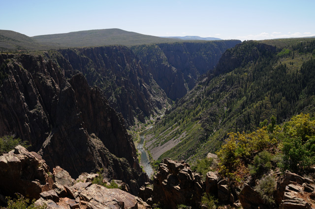
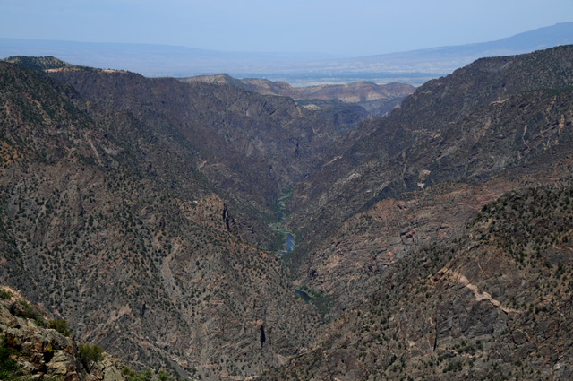
This is looking at the canyon as it is ending. You can see the river in the middle and the flatter land out the end of the canyon.
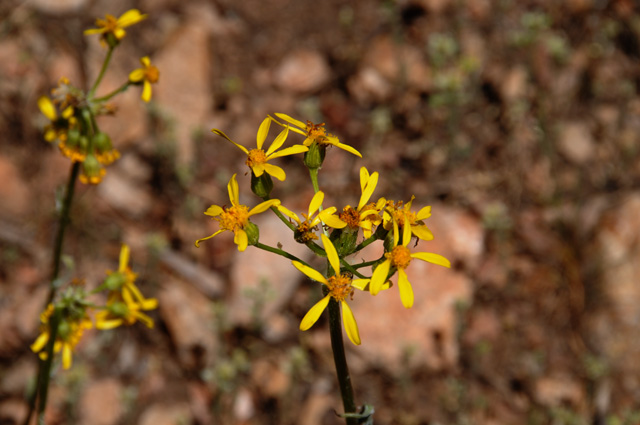
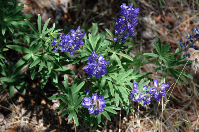
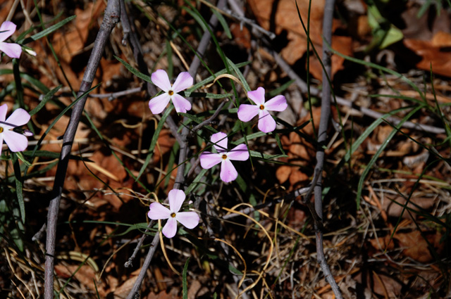
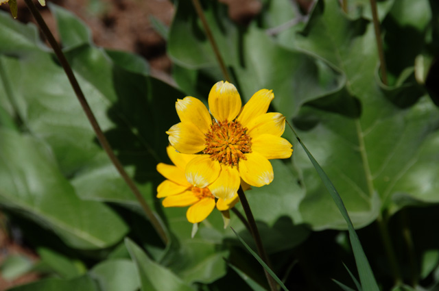
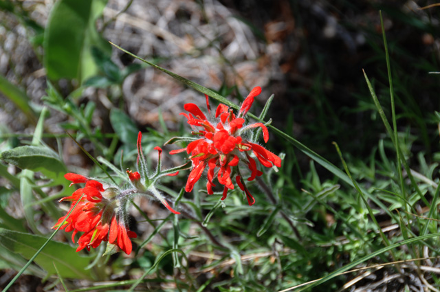
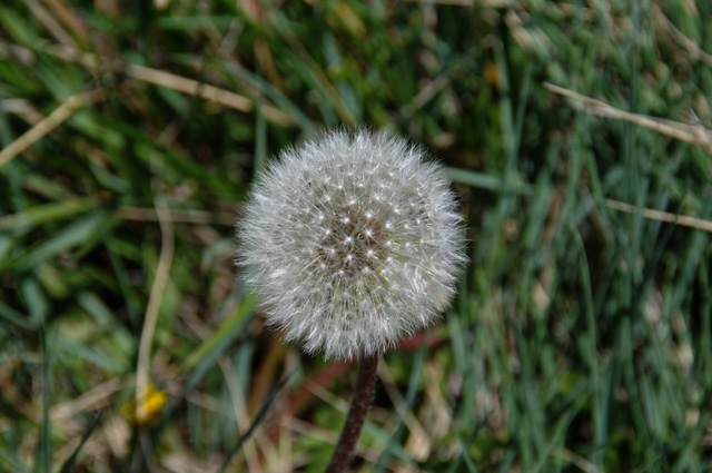
There were wildflowers on the south rim, several follow.
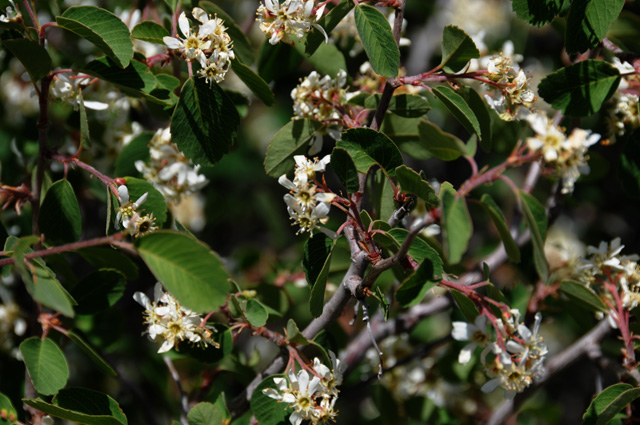
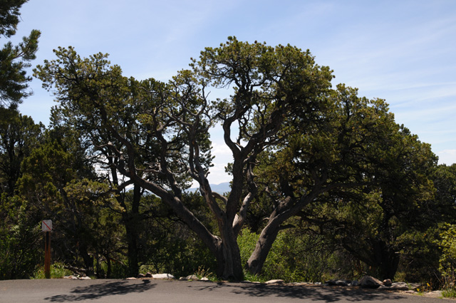
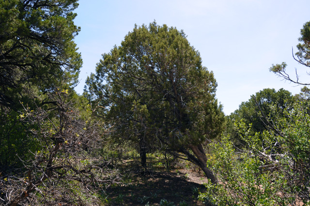
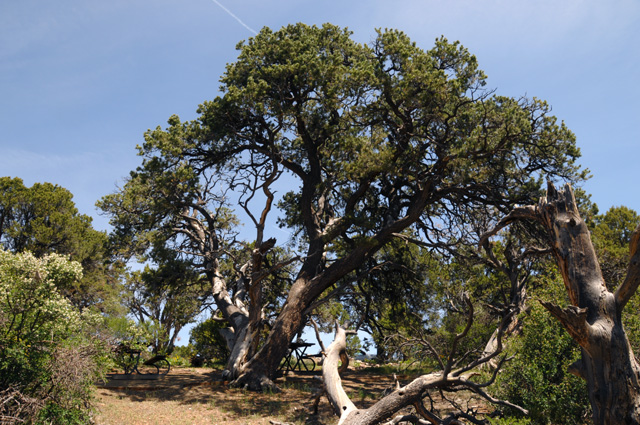
Plus some tree pictures.
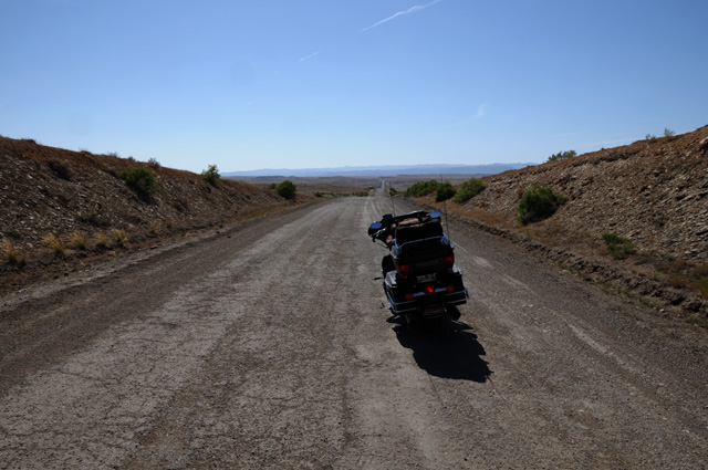
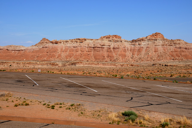
After that I had my normal lunch, in Montrose. Then off again through Grand Junction and on into Utah. I tried to stay on old US50 as long as I could, but was eventually forced off because the road is no longer maintained. The road had been OK, but suddenly got bad. I flagged down a truck that was coming from the bad part and asked the driver if the road continued to be paved or if it got worse, he said it was paved and was not much worse, and I asked how far to the next town, and he said five miles to the Interstate. I did not turn back, and continued the five miles. This photo shows the state of the road when I stopped the truck driver. It got worse. Pot holes, washboard, I was going about 15-20 miles an hour. Fortunately it was only five miles, then I got on I-70, the modern US50.
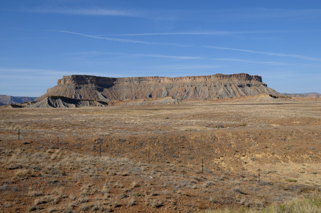
The terrain really changed about Grand Junction. It went from being high altitude with trees to a desert look. I saw this mesa fairly soon and had to stop on the Interstate (on the shoulder, of course) to get the picture.
I stopped at a Utah Welcome Station and asked about places to spend the night. One was about 25 miles ahead, I would be there by 5:30, the other was another 110 miles with no services until that point. That's what I did. So, I am in Salida.
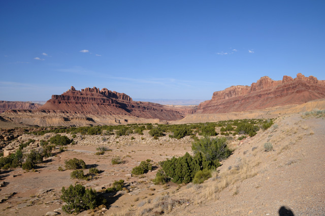
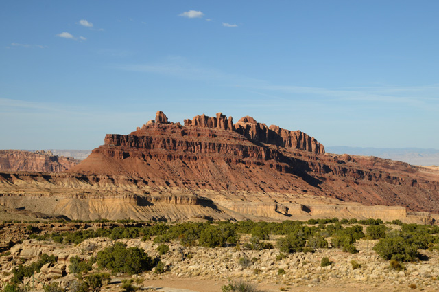
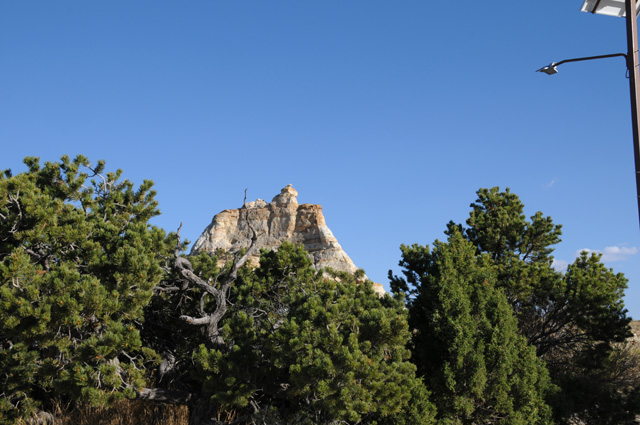
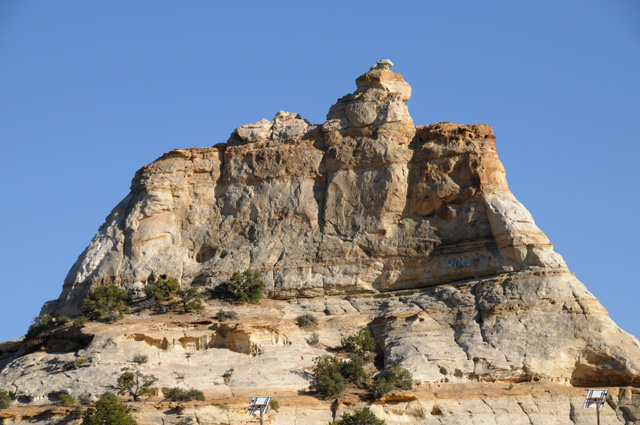
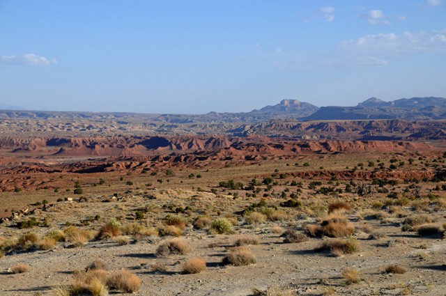
Utah has beautiful scenery. Lots of red rocks which I love. I went through an area called the San Rafael Reef where the earth's crust was pushed up exposing a different type of rock. This picture shows the color, but doesn't fully show the roughness.
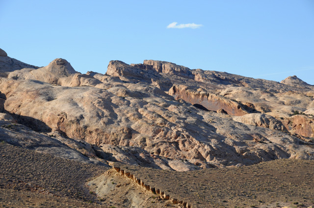
This picture shows the roughness, but doesn't show the color because the sun was on the wrong side. I saw this outline from a long distance. It looked like a city skyline, except it was at odd angles.
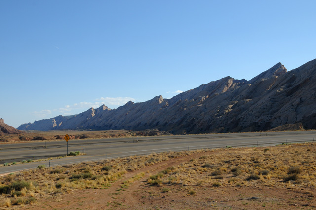
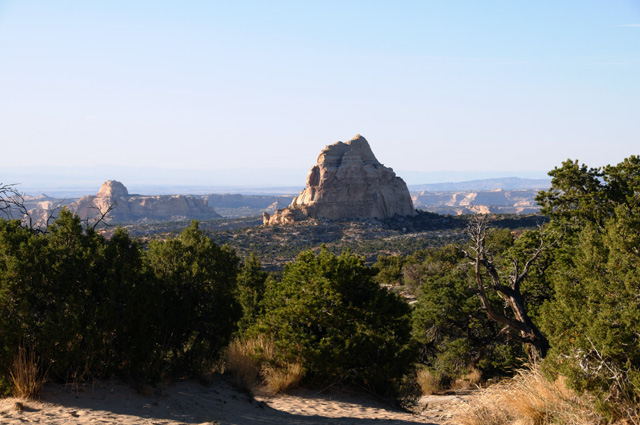
More red rocks.
When I finally got to Salina, I had to do some laundry, then get dinner. As a result, it is late now, and will probably be after midnight before I get my web site updated. While my laundry was running, I was able to get a start on the daily web site update, though.
|
|
|