|
|
Travelogue -- Dr Bob's Wrap-Up Motorcycle Ride |
|
| Send a message to Dr Bob |
14 May 2018, 11:50 PM PT, Grangeville, ID
I was on the road later than usual this morning because I was up later last night because of a late arrival, and I did not even want to get up until at least 8 this morning. I went through time zone confusion. Two nights ago I was on Pacific Time. Last night I was on Mountain Time. Tonight I am on Pacific Time. Because of my late departure, plus taking time to go to High Desert Harley-Davidson in Boise, I did not get as far today as my preliminary plan. There is not much between Boise and Missoula. Missoula was too far by the time I was ready to leave Boise. So I searched for a town that had an acceptable hotel. I found a Super 8 in Grangeville, about half way between Boise and Missoula, so that's where I headed. Why did I go to High Desert HD? I wanted to know if they had a radio replacement, they did not. I will try tomorrow in Missoula at Big Sky HD. I will get my oil and filter taken care of whether Big Sky has a radio or not. If they do, I will get that done. If they do not, I will wait until I get home and have Treasure Coast HD take care of it for me.
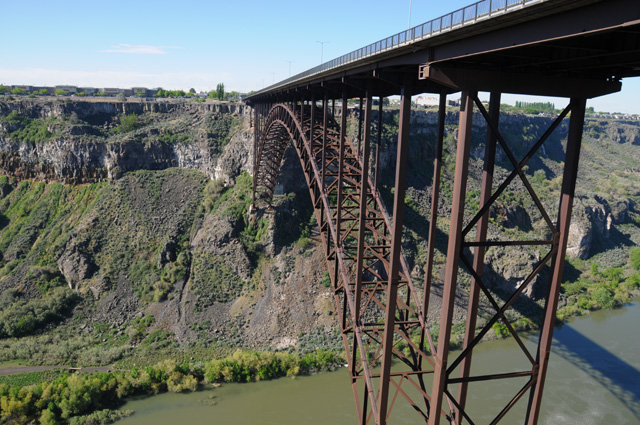
Leaving Twin Falls I went over a bridge that made me immediately shout to myself, "I have to stop!" Here's the bridge looking back. Fortunately they put a scenic overlook parking lot immediately after the bridge. You can see the bridge had no shoulder.
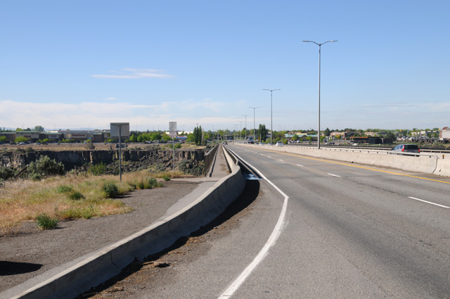
You might notice in the picture above that there seems to be a big hole in the ground under the bridge.
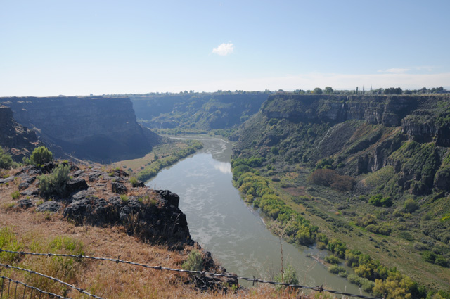
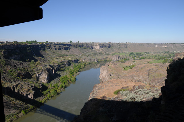
Here's the hole. That's the Snake River.
As I was walking from the bike to the overlook, I saw a hang glider just touching down.
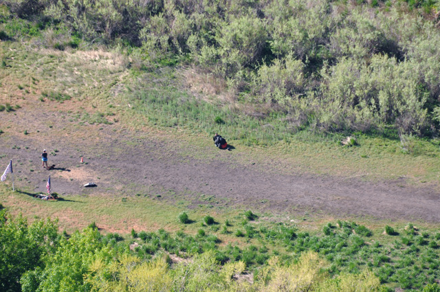
That's him, the black spot in the middle. There's a lady and a dog and a US Flag on the left, it my be hard to spot that in this lower rez picture. That's a full telephoto shot.
And I discovered something very important. I believe I discovered how the town Twin Falls got its name. Here's half the reason:
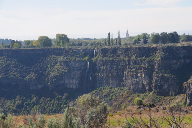
And here's the other half:
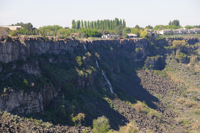
Both the waterfalls are on the south side of the river, the first one is on the east side of the bridge and the second one is on the west side of the bridge.
Here's the view of the bridge from below. Much more interesting than the view of the bridge from above.
And, just to complete the picture, here's the Snake River looking in the other direction.
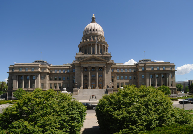
After marveling at the big hole in the ground, I continued on to Boise to do my duty and get a picture of the Idaho Capitol.
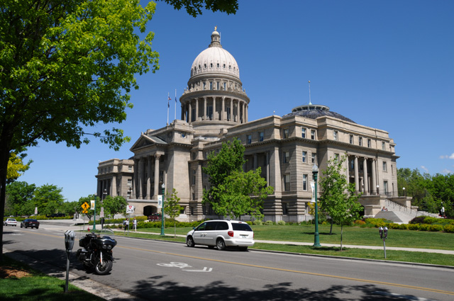
I try to get the bike in the picture when I can. Here's looking straight at the front of the Capitol.
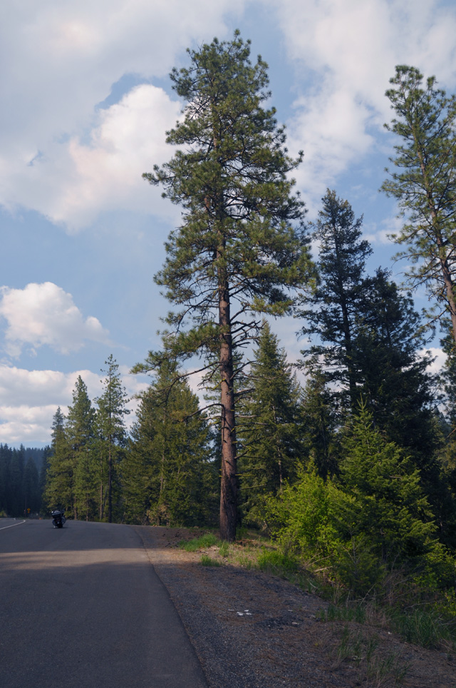
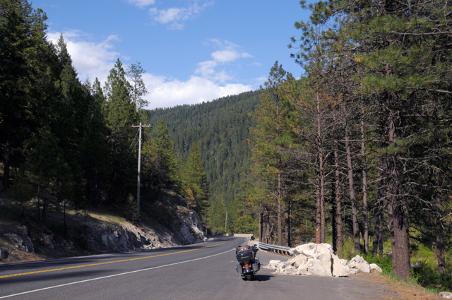
Then I went for a ride in the woods. North on US-95 between the Payette National Forest and the Wallowa-Whitman National Forest.
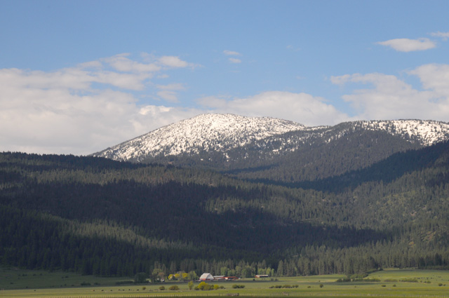
Still snow on the higher elevations. I believe this was new snow from the morning before, the day I was in cold rain.
This is the Little Salmon River.
I stopped here to get a picture of the Little Salmon River.
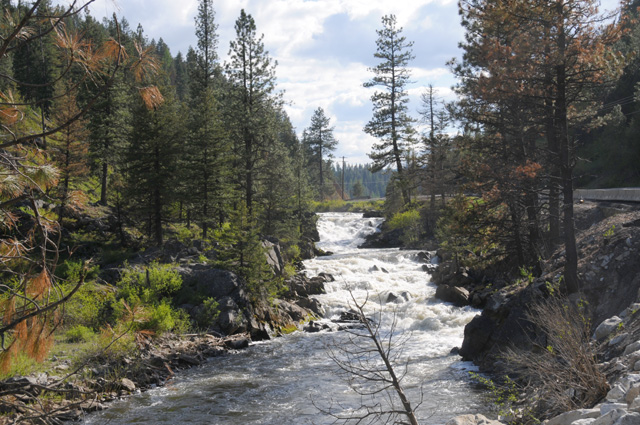
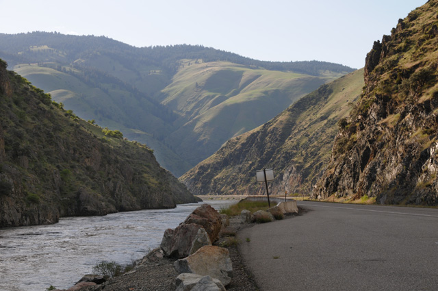
This is the Salmon River and the canyon it has created.
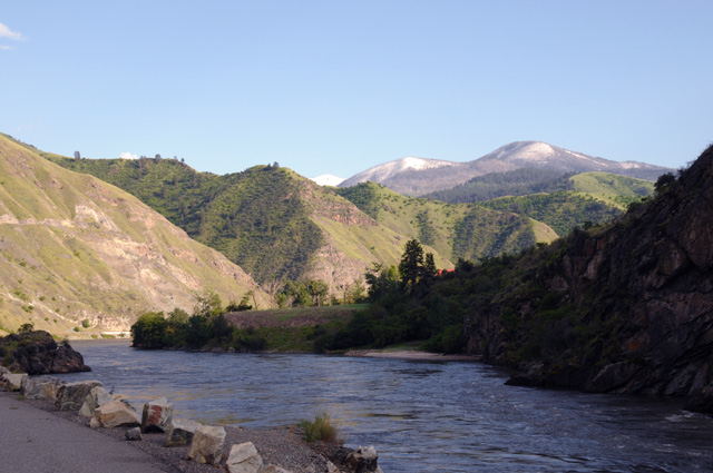
And another view of the Salmon River and the Salmon River Canyon.
I rode 366 miles today. I have 4,440.2 total, an average of 404 miles per day. I am meeting my objective of an average of 350 miles per day, at least so far.
|
|
|