|
|
Travelogue -- Dr Bob's Wrap-Up Motorcycle Ride |
|
| Send a message to Dr Bob |
16 May 2018, 10:45 PM MT, Big Timber, MT
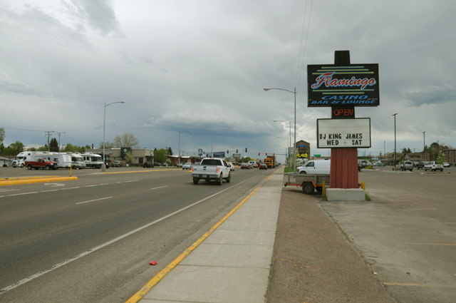
Another change in the map today. If you look at the map (near the top of the menu on the left), you will see a dotted red line going across Montana where it was a solid red line before. You also will notice a new red line going south at the beginning of the dotted line and then a little along I-90 to Big Timber, then it goes back north then east, then joins where the dotted line ends. So why am I replacing the dotted line with the new solid line, you ask.
It is a long story, but I will tell you anyway. For about a day I have been a little nervous about the dotted line. The distance is long enough that I need to start the dotted part in the morning or I have a hotel problem that night. Basically, there is nothing along the dotted line. I did not know that when I made the original plan, but now that I am on the road I do need to look at things like that. By the time I got to Great Falls, about 25 miles before the dotted line begins, it was already noon. I had lunch in Great Falls because I knew there was little up ahead. The time was such that I could do the dotted line and finish it about an hour before sunset. That's starting to get a little tight. Then, as I was leaving, I could see a thunderstorm to the east about where I would be going.
I used my NOAA radar app to study the situation. There were about half a dozen thunderstorms out that way, they were moving north, and it looked like I would be OK. Indeed the one in the picture had moved out of my path by the time I got there. So things were looking up. I had time to get to a town with a hotel, and the thunderstorms would not be a problem, so I took off.
At 25 miles, there was a sign on the side of the road saying there was major road work going on up ahead, on US-87. Whoa. I stopped on the side of the road and pulled my iPhone to see what I could learn about the road work. Not enough. Fortunately there was a west bound truck weight inspection station right there, so I turned around and went in. I talked to one of the 18-wheel drivers and asked what the road work was like. He said it was OK, there was a section about 2 miles long where the road was dirt. Whoa again. If you know my riding habits, you will know that one of them is to avoid dirt and gravel and grass like the plague. I have done each, but only when I could not avoid it. I am getting old, and my habits are well formed, so I don't like to try something new at this point. I am reminded of an old saying, there are old pilots and there are bold pilots, but there are no old bold pilots. So I decided to abandon ship. Immediately in my mind I could see that solid red line suddenly become dotted.
More study on my iPhone and I knew what I would do. I went south to I-90 on US-89, maybe 120 miles, then 30 miles east on I-90 to Big Timber. Tomorrow I will go north again and catch US-12, the highway that produced the delightful and gorgeous ride in Idaho yesterday. That's not as far north as the highway I was going to take today, US-89, but it does get me off the Interstate. As I was riding those 30 miles on I-90 I was thinking how much easier it is to just cruise on the Interstate, but it sure is not as interesting.
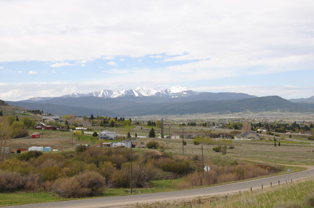
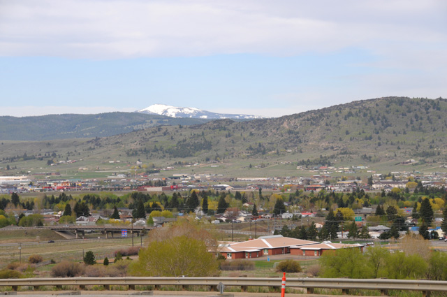
My day started in Butte, and shortly after I was off, I decided I needed to take some pictures to remember what it looked like in Butte. These three pictures were taken from the same place but looking in three different directions. That is two different mountain ranges covered with snow. It was cloudy, so the scenery is not as spectacular as it is when the sun is shining. The sun was shining on the two mountain ranges, but not where I was.
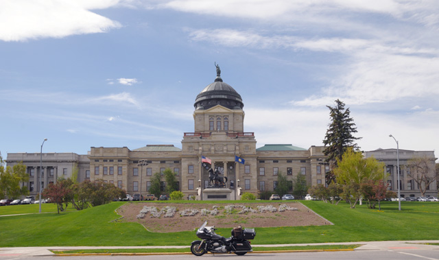
Then I was off to Helena, a capitol city. I already have a picture of the Montana Capitol, but like I said on my first day of this ride, my own rule is to do it again when I pass through a capitol city. So here's the Montana Capitol, with my bike as is often the case. I like to do that, put the bike in the picture, but sometimes I cannot do it.
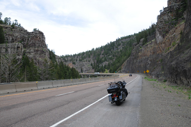
Riding through a canyon on I-15 between Helena and Great Falls.
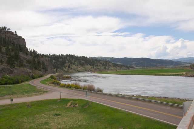
This is the Missouri River, looking both directions, between Helena and Great Falls.
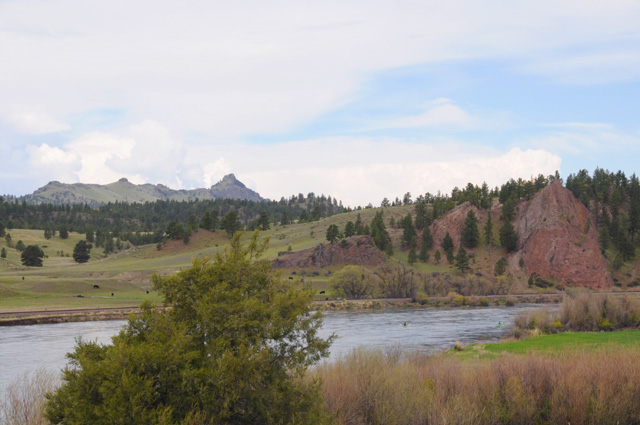
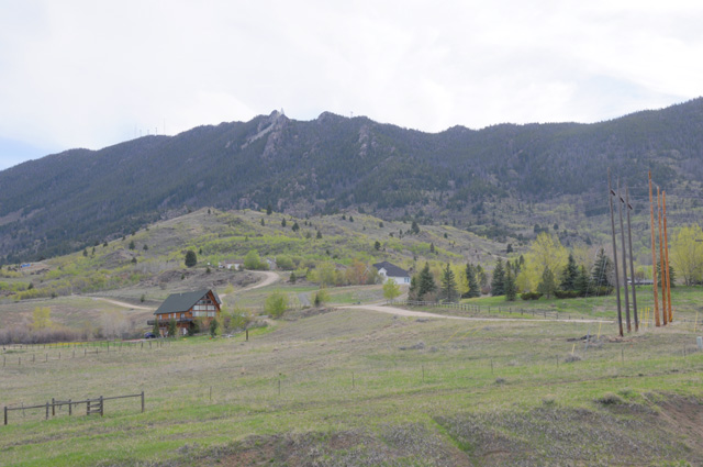
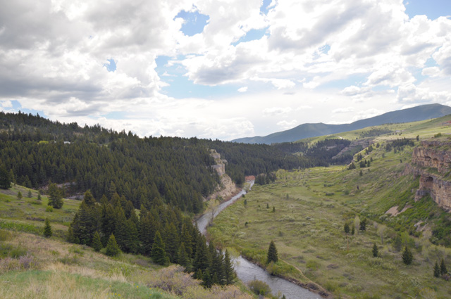
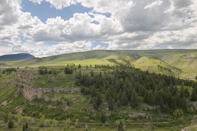
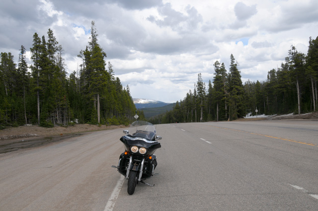
The next three pictures were taken at a scenic overlook on US-89 between Great Falls and I-90.
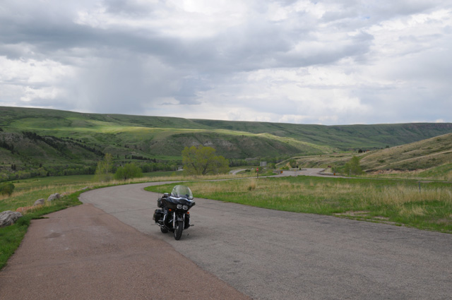
This is Kings Hill Summit on US-89 in the Lewis and Clark National Forest.
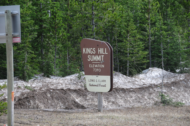
At Kings Hill Summit.
It was cold, I had to put on my rain jacket. I did not have it on in these two pictures, but I stopped going down from the pass to put it on. I was getting too cold. I started the day with the jacket, took it off in Helena, then put it back on to end the day.
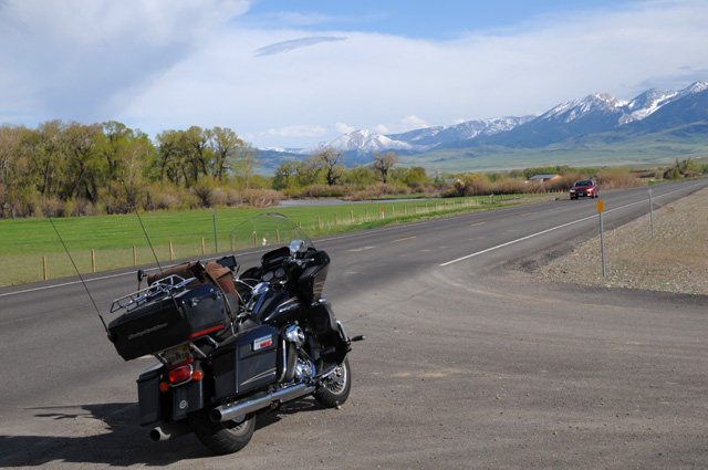
Approaching I-90. The mountains are just south of the Interstate.
I had 357 miles today, the total is now 5,114 miles, 13 days, 393 miles per day average. I am one day behind my preliminary plan. If it remains this way, the ride will be 22 days and I will arrive back in North Palm Beach on Friday the 25th. Too early to predict, though. It almost certainly will not be before that, it could be later depending on weather and bike problems and simply getting tired and needing to take a day off. I have not done that yet on this ride. My shortest day has been 198 miles.
|
|
|