|
|
Travelogue -- Dr Bob's Wrap-Up Motorcycle Ride |
|
| Send a message to Dr Bob |
17 May 2018, 9:00 PM MT, Hardin, MT
Good evening to you all. I am going to start by showing you my new best friend, Maggie.
Interesting that Maggie has the same name as my very own Scottish Terrier, Miss Maggie May.
Actually, Miss Maggie May is Hanna's dog, I just call her mine.
My new friend Maggie is here in Hardin, MT. We are two doors apart at the Rodeway Inn.
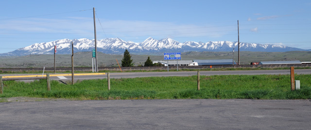
On to my day of riding. Things went pretty well until early afternoon. I will talk about that at the end. First, here's the view from my hotel this morning in Big Timber. Nice view. there's even a railroad track across the road. Too bad a train wasn't there when I took this picture. But then, you might not be able to see the mountains.
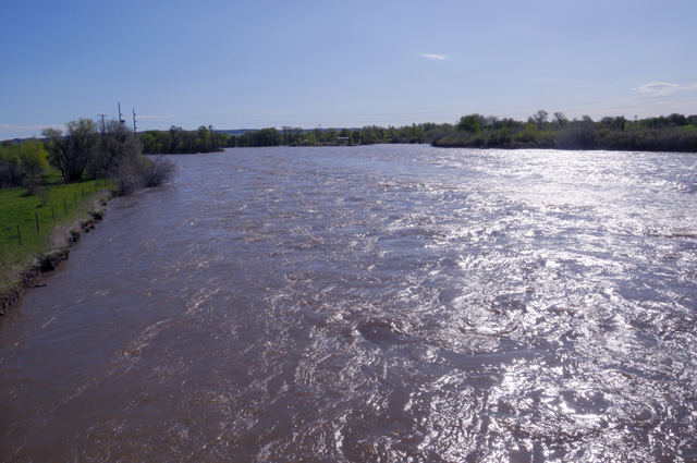
I already knew I was very close to the Yellowstone River. So, that's where I went first. This is the view looking to the West. The water is moving in that direction.
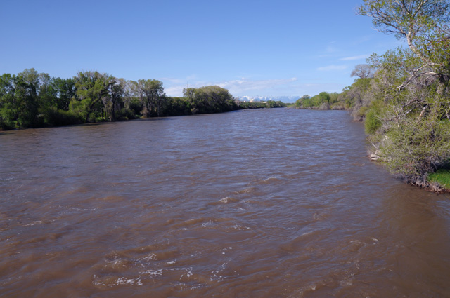
Here's the view looking east, and into the sun.
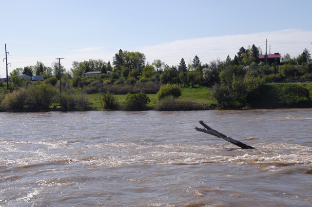
One last view of the Yellowstone River. There seems to be a log stuck there.
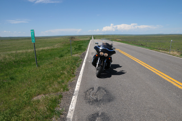
As I was cruising US-12, the terrain changed to be rolling ranges of hills and valleys. This went on and on, so I decided to take a picture of it. Here I am looking back west, and if you look carefully you will see two of the hills in the background.
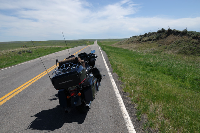
And this is looking east. Again, you can see two of the hills in the background.
After about four or five hours, I reached I-94, as was planned. I took a break. During the break I looked at my NOAA Weather Radar App. Guess what I saw.
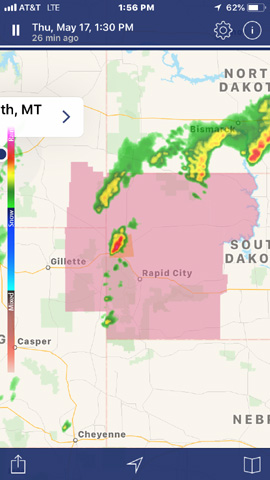
My route was to be down through Gillette, the town on the left in the middle, just west of a severe thunderstorm watch. If you look where the red thunderstorm is, sort of in the middle of the pink area, northwest of Rapid City, you will see an orange area. That is a severe thunderstorm warning. That thunderstorm is already severe.
I decided it might be a good idea to go a different way. It was clear that going farther east would not work, I would have to go very far east. It looked good to go farther west. I took the advice of four local guys in the restaurant where I was (Dairy Queen, but I did not have a chocolate shake). They sent me west to a road going south that would connect from I-94 to I-90 and then I would continue on I-90, perhaps as far as Sheridan.
So, that's where I headed. You can see the change in my map with the new dotted red line. There are now two dotted red lines, the one farther north from yesterday and the one to the east from today.
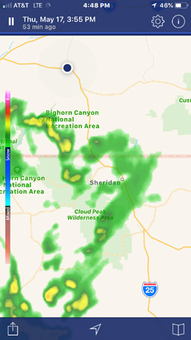
But, wouldn't you know it, by the time I reached I-90, about two hours later, my new route had thunderstorms. I am the black dot at the top center, Sheridan is in the mniddle.
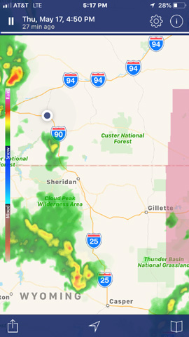
Here's a shot from the NOAA app that shows both storm areas.
Maybe tomorrow will be better, but there are thunderstorms predicted. And rain is predicted for the next day. We'll see what happens.
I rode only 297 miles today. But I got only 128 miles. If you look at the map, you will see that last night and tonight are just down the road from each other, but I took a big circular route to get there. And, it gets worse. Two nights ago I was in Butte, and that is only 273 miles from Hardin on I-90. I rode 654 miles to do it. Also in a big circular route. Well, it was a pretty ride. Not sure it was worth it, though. See you tomorrow.
|
|
|