|
|
Travelogue -- Dr Bob's Northwest Territory Motorcycle Ride |
|
| Send a message to Dr Bob |
20 May 2015, 11:59 PM ET, Madison, FL
Today I started my Northwest Territory Ride. I had planned to ride 500 to 600 miles, arriving in the western part of Florida, somewhere between Panama City and Pensacola. It did not work out that way. I only got 360.5 miles, I am in Madison, FL, not even to Tallahassee. More about that later.
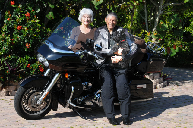
I got off at a good time this morning, a little after 9 AM. Hanna and Maggie saw me off. Maggie was dressed in black this morning (a Scottish Terrier) to match me, and you can hardly see her. But there she is in my arms with a red collar.
I went up the Florida Turnpike, and had to stop to show you the name of this town.
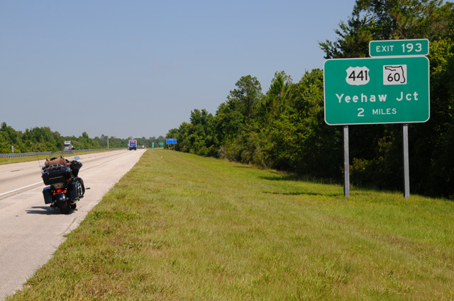
Hanna and I often go through Yeehaw Junction, on the way to Lakeland or Clearwater, several times a year. I just thought you would get a kick out of the name of this very little town.
The turnpike ends when it hits I-75. I often stop at the exit at the intersection. If I am on my bike, I need gas. This is about 210 miles from home. I decided to have lunch here, at the Hess Gas Station / Steak 'n Shake. You should know that I saw Dean on Saturday (if you have not read the earlier parts of this travelogue, do it now, the page called "Intro" and the pages 5/16 and 5/19). Dean told me he missed reading about my chocolate shakes. If you check my earlier travelogues, you will see that I like chocolate shakes. Well, last year on my US-1 Ride, I did not have one single chocolate shake (or any other flavor for that matter). My doctor had suggested I cut down on sugar.
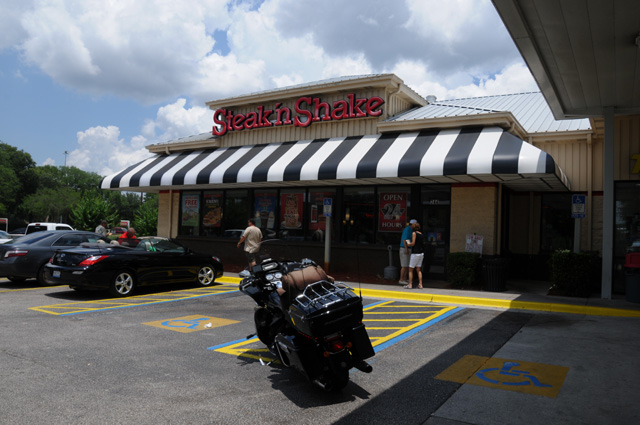
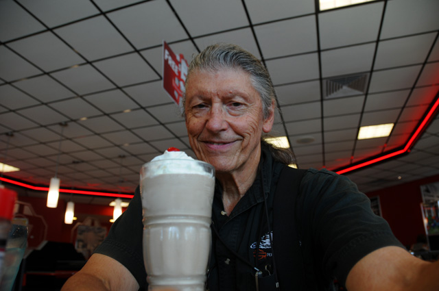
Well, that doesn't seem to sit well with Dean, so Dean, today I am trying to make you happy by having a chocolate shake. It may be the only one on the Ride (not counting the one on Saturday when I was sort of on my ride, but sort of not on my ride, but we'll have to see, won't we.
Not long after that, about 120 or 130 miles later, everything came to a stop. I was on I-10 headed west, happy as a lark, when there was a Florida Highway Patrol car on the left with flashing lights, shortly after that one on the right with flashing lights, shortly after that one on the left with flashing lights, then another one on the right where the traffic had come to a complete stop. Man, I sure wished I was in California where I could split lanes.
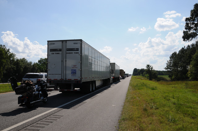
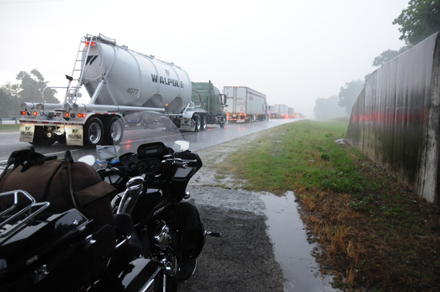
That's my bike, with the tour pack open so I could get to my camera. There was no problem leaving the bike to take the picture as the speed of the traffic at that point was about 0.0 miles per hour. About 2 1/2 hours later I had advanced about 1/4 mile. The sky was getting dark in the west. I pulled out my iPhone, opened my NOAA app, and saw that a thunderstorm was headed straight for me. Not only that, there was a severe thunderstorm alert associated with the storm. I will ride my bike in the rain, but I don't care to sit on my bike in the rain. Fortunately, I had passed under an overpass about a dozen car lengths earlier, so I turned around and rode that short distance in the wrong direction so I could park under the overpass. Within ten to fifteen minutes the skies opened up. Thunder. Lightning. Rain. Blowing rain.
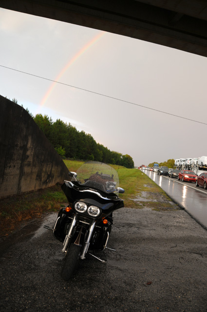
About an hour later, my app showed the storm had completely moved on to bother other people, a rainbow appeared in the east, and I took off. You can see that the traffic is still at a virtual standstill.
But the traffic had started moving slowly during the storm. It took me 23 minutes to go the next 2.6 miles, which was the traffic accident location. An 18-wheeler had overturned, burned, and spread its load on the roadway. Everything had been pushed off the road and was in piles on the side as I rode past. Suddenly I was running at the speed limit. I stopped 20 miles later to spend the night, about 200 miles short of where I wanted to be.
To end my writing for the day, let me point out that I have a map showing my intended route (see "Map" near the top of the menu on the left), and showing my actual location each night. If I did not follow the original intended route, I update the map to show the actual route and the future intended route. The big blue arrow shows where I am tonight. I have not decided yet if I will go clockwise (to Texas) or counter clockwise (up through Alabama and Mississippi). I will decide tomorrow based on weather forecasts.
Hope you come back tomorrow, I will leave the light on for you.
|
|
|