|
|
Travelogue -- Dr Bob's US50 Motorcycle Ride |
|
| Send a message to Dr Bob |
27 May 2012
Wrap Up
This was a very successful ride. I had no bike problems at all. I rode 8,342 miles in 25 days. The average miles per day was 333. I had very little rain, only in West Virginia and Ohio, and that was light. My riding suit hardly got wet, but the bike did get very dirty.
My new (hot weather) riding jacket was an excellent compromise. On the really hot days, there is no question that I was much cooler than I would have been with the older (all weather) riding jacket. With only two days having some rain, that may have shaped my viewpoint.
I kept myself well nourished with chocolate shakes. I don't keep count, I just have the discipline to get one only when I feel I need it. For those of you who were counting, it was 23.
My fuel tank holds 6.0 gallons of (premium) fuel, with a low fuel level warning light that comes on when I am down to 0.9 gallons. I used 195.661 gallons which means it required 10 barrels of oil to make the gasoline I used. I averaged 42.6 miles per gallon for the entire trip. The lowest I got on fuel was in Maryland where I required 5.662 gallons to fill the tank. Using my average fuel mileage, that means I was down to 14 miles. I knew I was getting very low. I had been passing gas station after gas station, and suddenly there was a distance of 35 miles with not one gas station. I didn't expect that in Maryland. In the desert, yes, but not in Maryland. The maximum distance I got on one tank of fuel was 250.8 miles. That tank also produced my highest fuel mileage which was 51.0 miles per gallon. The maximum I paid for fuel was $5.199 per gallon in Needles, California. Fuel was most expensive, on average, in Utah, Nevada, and California.
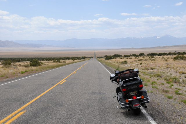
My primary mission on this ride was to cross the US on Route 50, and especially across Nevada where US50 is called the "Loneliest Road in America". I must say I have been on lonelier roads, but not as long. It is 424 miles from the Utah border to the California border on US50. The Great Basin Desert runs from the Rockies to the Sierras. I really noticed the desert beginning at Grand Junction, Colorado. From Grand Junction to Lake Tahoe the distance is 840 miles. There were two spots in that run that went more than 100 miles with no gas stations.
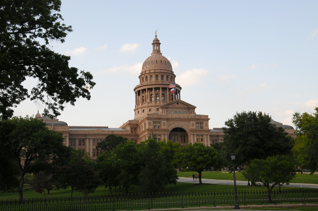
I rode through 22 states plus the District of Columbia (FL, GA, SC, NC, VA, MD, WV, OH, IN, IL, MO, KS, CO, UT, NV, CA, AZ, NM, TX, LA, MS, and AL). I rode through 8 capitol cities (Annapolis MD, District of Columbia, Jefferson City MO, Carson City NV, Sacramento CA, Austin TX, Baton Rouge LA, Tallahassee FL) including our nation's capitol in the District of Columbia.
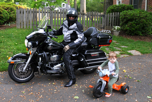
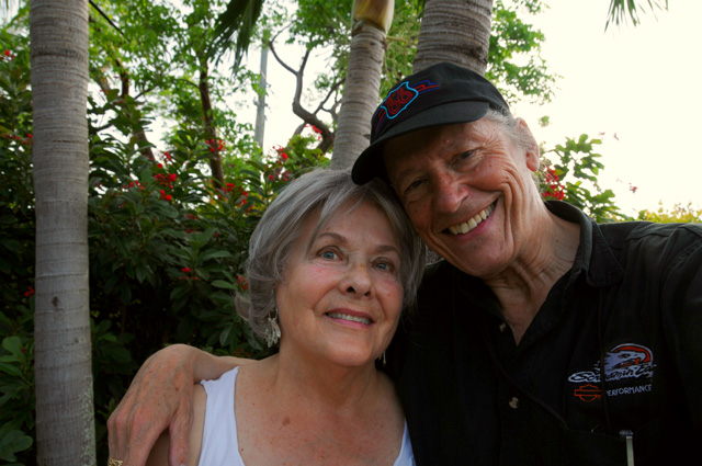
I saw my best friend from my grade school and high school days, I got a brick from my high school building, I saw my three grandchildren and gave the two older ones their first motorcycle ride, I saw my son and his wife, I saw my two brothers and sister and sister-in-law, I saw four nieces, one nephew, five grand nieces, one cousin, and various other spouses.
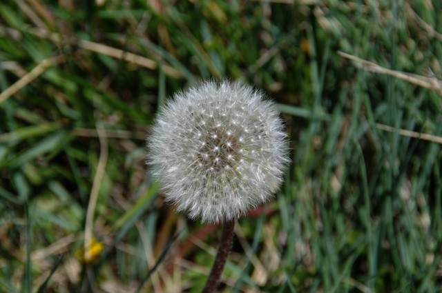
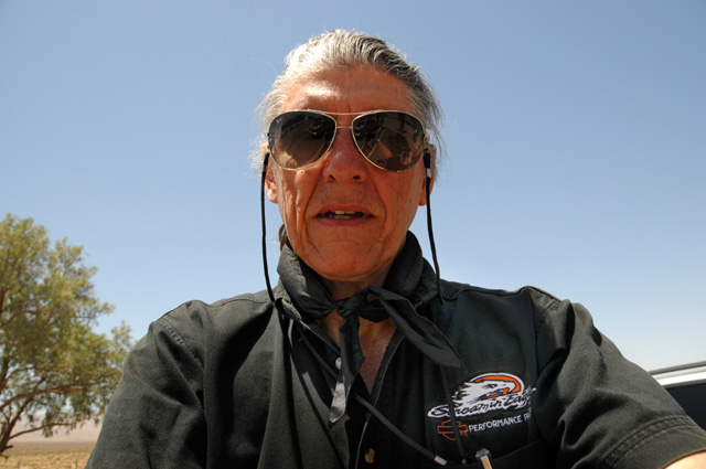
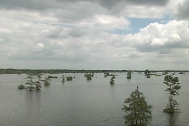
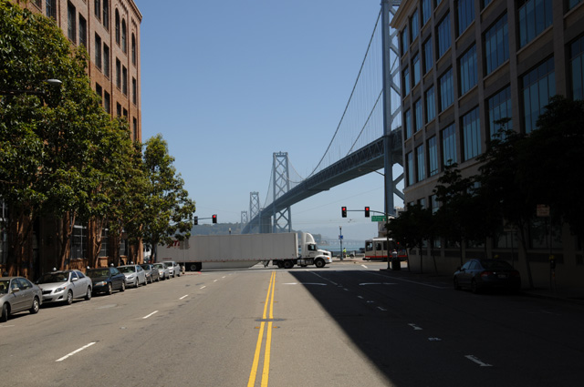
Here are some pictures that strike a certain note with me:
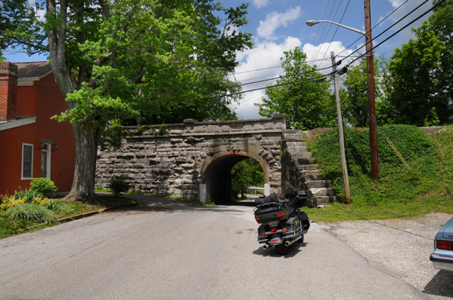
Best Tunnel Award
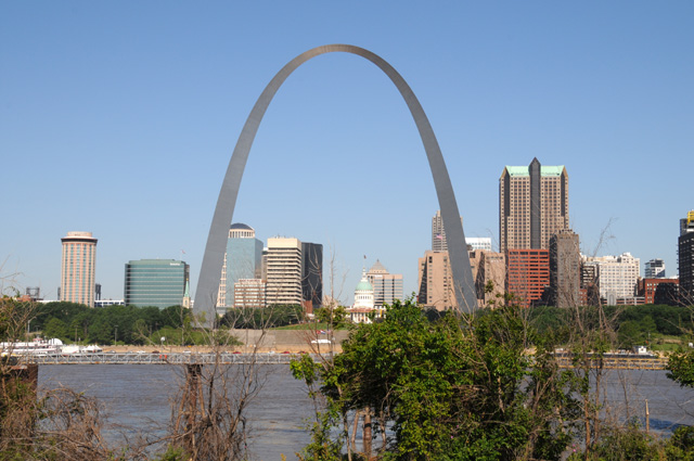
Best Skyline Award
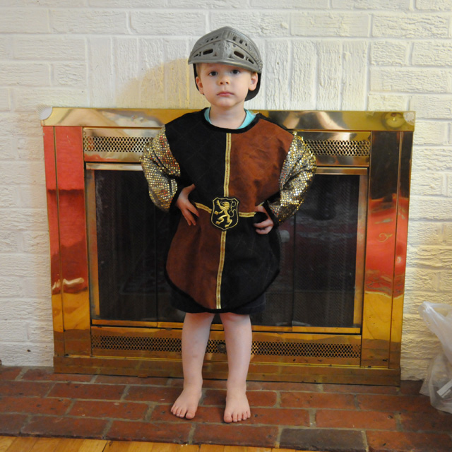
Cutest Knight Award
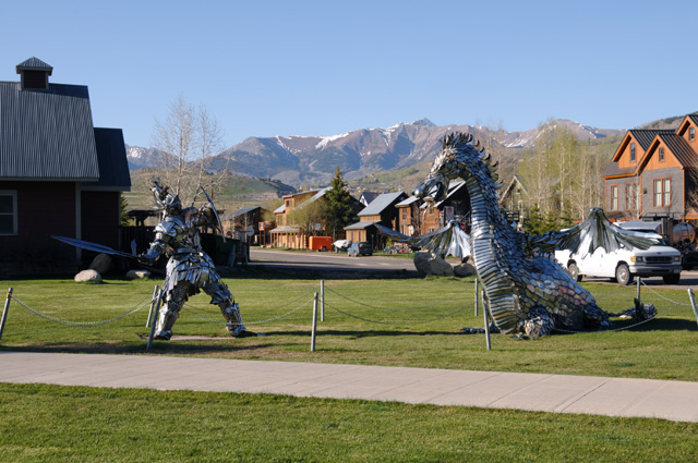
Most Artistic Knight Award
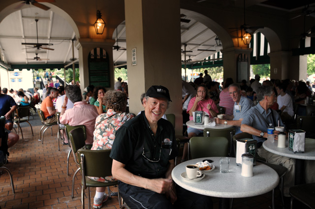
Best Coffee Break Award
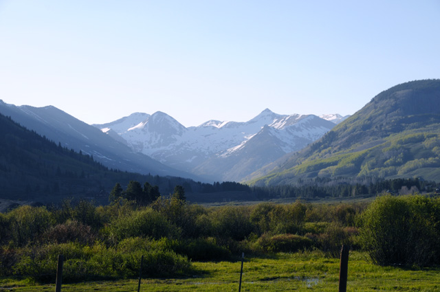
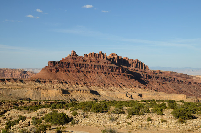
Best Mountain Picture Award
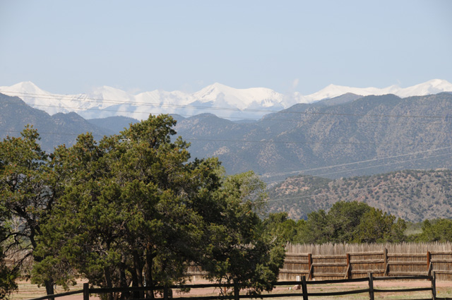
Looks the Most Like Swiss Alps Award
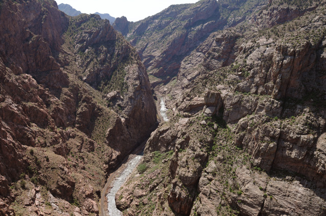
Deepest Canyon Award
Longest Road Award
Meanest Biker Award
Red Rock Award
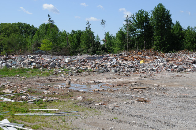
High School Award
Silliest Picture That Nobody Commented On Award
Funniest Self Portrait Award
Missed Picture Award
Dumbest Mistake Award
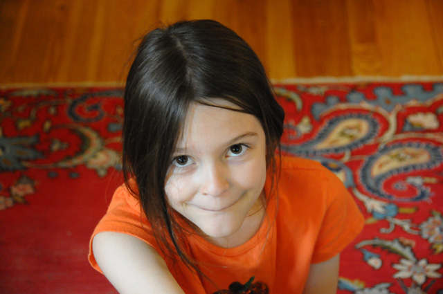
Sweetest Granddaughter Award
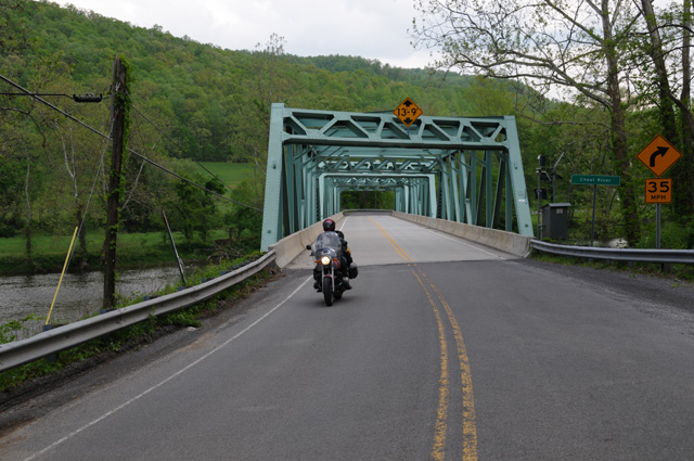
Country Bridge Award
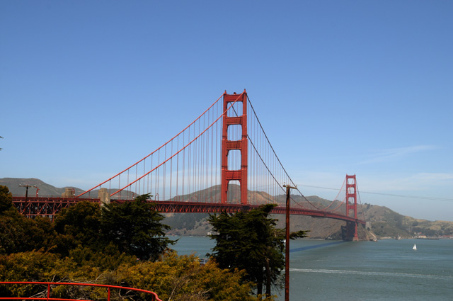
Prettiest Bridge Award
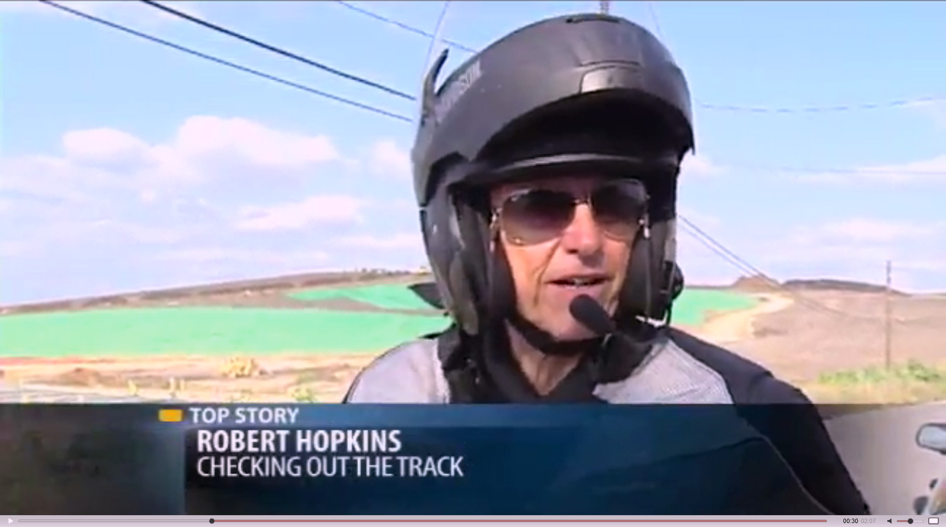
Most Unexpected Moment Award
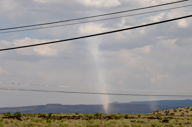
Most Unusual Moment Award
Don't Mess With Me Award

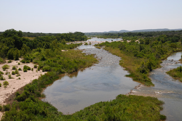
Prettiest Scene Award
Most Impressive Capitol Award
Happiest Moment Award
28 May 2012
Wrap Up Continued
Just a couple more comments. I took 602 pictures. The terrible road I mentioned on 5/15 started at the Utah border. The road had been acceptable in Colorado, but became unacceptable when I crossed into Utah. I have determined that by examining the road in Maps.Google Street View. The change was at a cattle guard, and it appears that is the state line. It turns out that I did follow it to its end, which I did not realize at the time. I just wanted to get on the Interstate.
23 June 2012
Wrap Up Continued
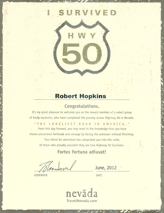
I received the following certificate from Nevada for surviving the Loneliest Road in America. Also included, a lapel pin with the HWY 50 icon and the statement "I RODE MINE".
|
|
|